

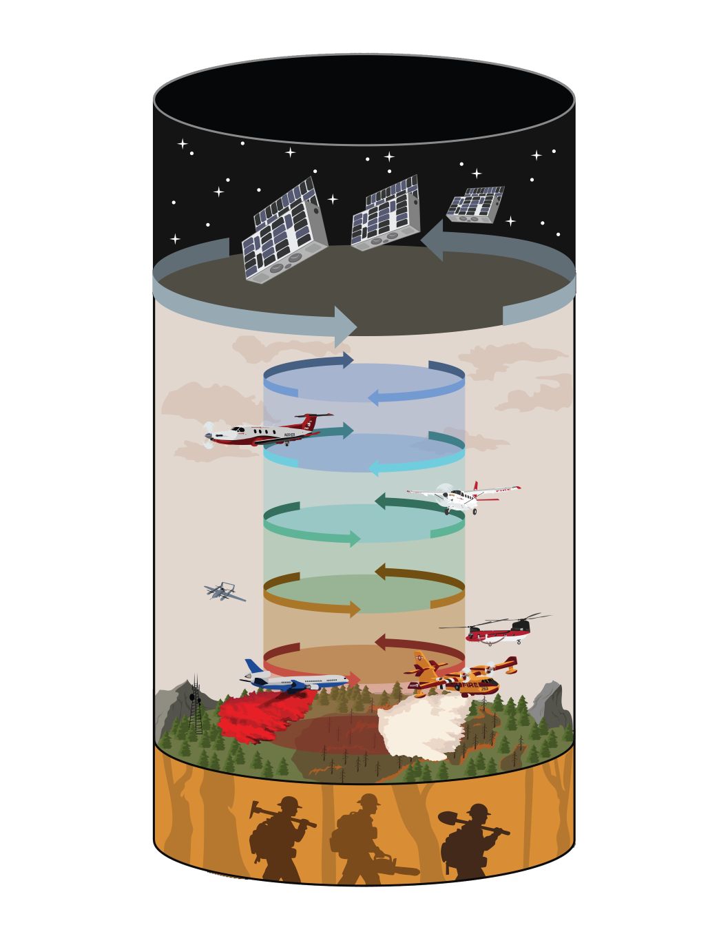
Bridger Aerospace and OroraTech are integrating satellite-based wildfire intelligence into Bridger’s IGNIS wildfire operations platform, combining data from space, aircraft and ground teams to support faster decision-making during wildfire incidents.
The collaboration combines OroraTech’s satellite wildfire detection, thermal mapping and fire-spread simulation capabilities with Bridger’s mobile-first IGNIS platform, which is designed to provide situational awareness to wildfire agencies and incident management teams.
OroraTech’s technology provides information on fire detections, thermal mapping, fire intensity and predicted fire spread. Under the partnership, this intelligence will be made available through IGNIS, giving incident teams an additional layer of information to help assess fires and plan responses.
While Bridger Aerospace’s aerial firefighting operations are focused primarily on wildfires in North America, OroraTech’s satellite-based wildfire intelligence is available to agencies internationally, including organisations across the Middle East. This gives the technology potential relevance to countries seeking to strengthen their ability to detect, monitor and respond to wildfires across large or difficult-to-access areas.
OroraTech’s Wildfire Solution draws on data from more than two dozen public satellites, as well as the company’s proprietary thermal imaging satellite constellation, which it describes as the world’s first satellite constellation dedicated to wildfire detection and monitoring.
The companies say combining satellite and aerial intelligence can provide incident teams with a more comprehensive picture of where a fire is, how it is developing and where it could spread.
The partnership focuses on four key areas: faster detection of new ignitions and delivery of actionable intelligence; adding satellite mapping as an independent data layer; rapid fire-spread modelling to support initial attack decisions; and streamlining data sharing, reconnaissance requests and record-keeping through IGNIS.
Thomas Grübler, Co-Founder of OroraTech and Chief Executive Officer of OroraTech USA, said: “By partnering with Bridger, we are closing the gap between space, air and the fireline. We are delivering better intelligence to responders when every minute matters.”
He added that combining satellite and aerial intelligence would help firefighters better understand where a fire is, how it is changing and where it may spread next, providing incident teams with a more complete picture for faster, more informed decisions.
For fire and emergency response agencies in regions exposed to wildfire risk, the collaboration highlights the growing role of satellite-derived intelligence alongside conventional aerial reconnaissance and ground-based firefighting resources.
